A Note About Images: The images used in our articles are for illustration purposes only and may not exactly match the content. They are meant to engage readers, but the text should be relied upon for accurate information.
Are you fascinated by maps and the intricate science of mapmaking? Cartography, the art and science of creating maps, has been an integral part of human civilization for thousands of years. From symbolic ancient maps to modern digital technology revolutionizing the field, cartography has continuously evolved, shaping how we understand and navigate the world around us. In this article, we will uncover ten surprising facts about cartography that will not only spark your curiosity but also deepen your appreciation for this captivating field.
Delving into the World of Cartography
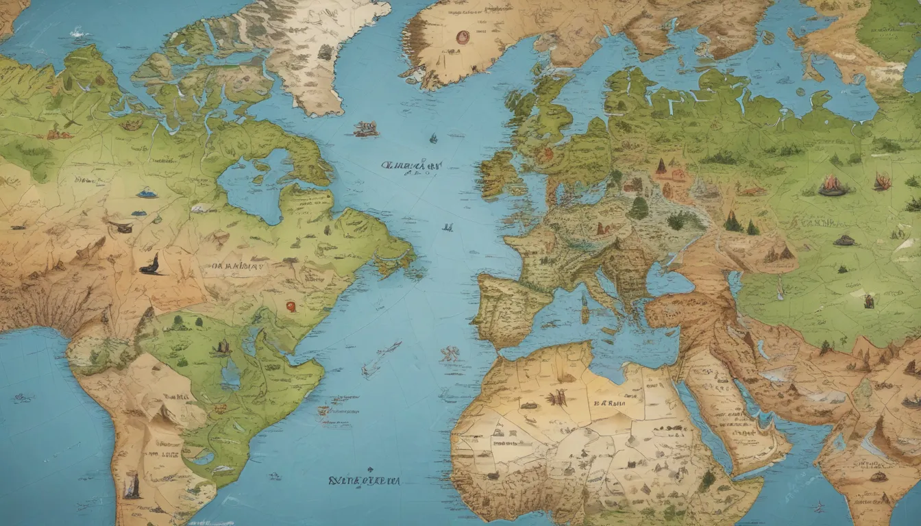
Cartography, derived from the Greek terms “chartis” meaning “map” and “graphein” meaning “to write,” has a rich history dating back over 4,000 years. Early maps, such as the Babylonian Map of the World from 600 BCE, provided insights into how ancient civilizations viewed the world. These maps were often symbolic and conveyed cultural or spiritual beliefs rather than geographical accuracy. The field saw a significant shift with the publication of the first modern atlas, the Ortelius Atlas in 1570, by Flemish cartographer Abraham Ortelius. Modern cartography has seen advancements like the Mercator projection’s distortion and the integration of digital technology, making maps not just tools for navigation but gateways to exploring the universe.
Uncovering Surprising Facts About Cartography
1. The Oldest Known Map Dates Back to over 4,000 Years Ago
Cartography has a rich history that extends back thousands of years, with the Babylonian Map of the World as the oldest known map dating back to around 600 BCE. This ancient artifact offers valuable insights into how early civilizations perceived and interpreted the world around them.
2. The Word “Cartography” Comes from Greek Origins
The term “cartography” finds its roots in ancient Greece, deriving from the Greek words “chartis” meaning “map” and “graphein” meaning “to write.” This linguistic connection showcases the significant influence of Greek culture on the development of mapmaking techniques.
3. Early Maps Were Often Highly Symbolic
In the early days of cartography, maps were more symbolic and less concerned with geographical accuracy. Infused with religious or mythological elements, these maps served as vehicles for cultural and spiritual beliefs, showcasing the diverse uses of cartography beyond navigation.
4. The Ortelius Atlas Was the First Modern Atlas
Published in 1570, the Ortelius Atlas, or “Theatre of the World,” by Abraham Ortelius is hailed as the first modern atlas. This groundbreaking work compiled maps from various sources into a single volume, revolutionizing the field of cartography.
5. The Mercator Projection Distorts Land Size
The Mercator projection, developed by Gerardus Mercator in 1569, is known for distorting land size. This projection exaggerates the size of objects as they move towards the poles, making countries near the equator appear smaller than they actually are.
6. The GPS System Relies on Cartography
Modern cartography plays a pivotal role in the development and functioning of the Global Positioning System (GPS). By providing accurate map data and coordinates, cartography enables real-time navigation and location services, transforming how we explore and navigate the world.
7. Google Maps Uses a Combination of Satellite Imagery and Cartography
When using Google Maps for navigation, you are experiencing a fusion of satellite imagery and cartographic techniques. This integration allows Google Maps to offer detailed and precise maps for a wide range of purposes, from finding directions to discovering new places.
8. Cartography Extends Beyond Earth
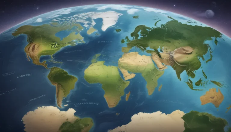
Cartography is not limited to mapping Earth but extends to other celestial bodies in space. Cartographers create maps of the moon, Mars, and other planets to aid in scientific exploration and enhance our understanding of extraterrestrial landscapes.
9. Mapmaking Was Historically Viewed as a Secretive Skill
In ancient times, mapmaking was considered a valuable and secretive skill. Individuals with the knowledge of creating accurate maps held a significant advantage in exploration, trade, and military campaigns. Cartographers were revered for their expertise and sought after for their skills.
10. Digital Cartography Revolutionizes Modern Mapmaking
Digital technology has revolutionized cartography, especially with the introduction of Geographic Information Systems (GIS). Cartographers can now create dynamic and interactive maps by incorporating layers of geographic data for enhanced analysis and decision-making.
Conclusion
In conclusion, cartography is a captivating field that intertwines the art and science of mapmaking. From ancient roots to modern advancements in digital technology, cartography has played a vital role in helping us navigate and comprehend the world around us. The ten surprising facts we’ve explored shed light on the complexities and innovations within cartography. From the subjective nature of maps to the revolutionary impact of 3D mapping technology, the creative possibilities within this field are endless. Whether for practical purposes or artistic expression, maps continue to leave a lasting impact on our lives.
Frequently Asked Questions (FAQs)
- What is cartography?
-
Cartography is the science and art of creating maps, involving the design, production, interpretation, and analysis of geographic information.
-
How do cartographers create maps?
-
Cartographers utilize various techniques such as surveying, remote sensing, and geospatial data analysis. Specialized software is employed to capture, process, and present geographic data.
-
Are maps always accurate?
-
While cartographers strive for accuracy, maps can contain errors due to outdated data or human error.
-
How do maps today differ from traditional maps?
-
Modern maps leverage digital technology and GIS software, offering more detailed and interactive experiences compared to traditional paper maps.
-
Can maps be used for more than just navigation?
-
Yes, maps have diverse applications in fields like urban planning, environmental management, archaeology, and marketing analysis.
-
Is cartography a growing field?
-
Yes, with technological advancements and the demand for accurate mapping, cartography is a field that continues to expand. Opportunities exist in government agencies, private companies, and research institutions.
-
Can anyone create their own map?
-
With user-friendly mapping tools and software available online, virtually anyone can create their own maps. However, professional cartographers possess specialized training in mapmaking techniques.
-
How are maps used in navigation?
-
Maps provide essential information for navigation, including landmarks, roads, and terrain features, helping individuals plan routes and make informed decisions about directions.
-
Can maps be artistic?
-
Absolutely! Many maps are designed with artistic flair, showcasing creativity and aesthetics. Artistic maps can depict landscapes, historical events, or imaginative worlds.
-
What is the future of cartography?
- The future of cartography lies in advancements like virtual reality, augmented reality, and spatial data analysis, offering more immersive and interactive map experiences.
In conclusion, cartography continues to evolve, offering new insights and opportunities for exploration. Whether you are a map enthusiast or looking to venture into the world of mapmaking, these facts provide a glimpse into the fascinating realm of cartography. Let the wonder of maps guide you on a journey of discovery and appreciation for the art and science of mapmaking.
