A Note About Images: The images used in our articles are for illustration purposes only and may not exactly match the content. They are meant to engage readers, but the text should be relied upon for accurate information.
Maps have been a cornerstone of human civilization for centuries. They have guided explorers, helped us navigate unknown territories, and provided a visual representation of our world. In this article, we will embark on a journey through the fascinating realm of maps, uncovering intriguing facts about their history, importance, and the art of cartography. Join us as we explore the captivating world of maps and discover the stories they tell.
Unveiling History: The Oldest Map
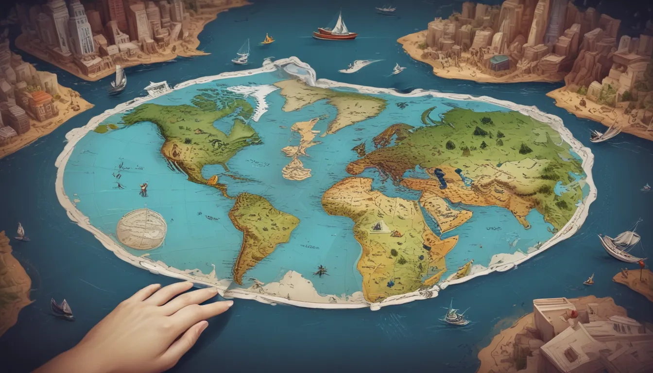
Travel back in time to the 6th century BCE and discover the oldest known map – the Babylonian Map of the World. This ancient artifact depicts the world as a flat disk surrounded by water, with Babylon at its center. It serves as a testament to the early humans’ desire to interpret and understand the world around them through cartography.
Shaping Perception: The Power of Maps
Maps wield incredible power in shaping our perception of the world. They have the ability to influence political boundaries, spark exploration, and foster communication between cultures. As we immerse ourselves in the world of maps, we begin to appreciate the impact they have on how we view and interact with the world.
Mastering the Craft: The Art of Cartography
Delve into the intricate world of cartography, the art and science of mapmaking. This discipline combines elements of geography, mathematics, and design to create accurate and visually appealing maps. From ancient parchment scrolls to interactive digital platforms, the evolution of cartography showcases the craftsmanship and dedication of mapmakers throughout history.
Charting the Unknown: Early Mapmaking Techniques
Journey back to ancient times and explore the techniques used by early cartographers to create maps. From surveys and celestial observations to measurements of distances traveled, these methods laid the foundation for the art of mapmaking. The ingenuity and resourcefulness of these early mapmakers paved the way for the maps we use today.
Mapping the Renaissance: A Resurgence in Mapmaking
Experience the Renaissance period’s resurgence in mapmaking, marked by advancements in technology and a renewed interest in exploration. Pioneering cartographers such as Gerardus Mercator and Abraham Ortelius revolutionized the field, introducing innovative techniques that shaped the maps of the future. Witness the impact of these visionaries on the art of cartography.
Navigating with Precision: The Mercator Projection
Explore the Mercator projection, developed by Gerardus Mercator in the 16th century, as one of the most widely used map projections. While preserving accurate shapes and angles, this projection distorts the size of objects as they move away from the equator. Understanding the nuances of different map projections enhances our appreciation for the complexity of cartography.
Embracing Technology: The Digital Mapping Revolution
Witness the revolution in cartography brought about by the advent of computers and digital technology. Geographic Information Systems (GIS) and satellite imagery have transformed mapmaking, enabling the creation of detailed and interactive digital maps. The digital mapping revolution has opened new possibilities for how we visualize and navigate the world.
Wayfinding Through Time: Maps and Navigation
Trace the evolution of maps as crucial tools for navigation throughout history. From ancient mariners using stars and landmarks to modern GPS systems, maps continue to guide us on our journeys. Whether exploring remote landscapes or navigating bustling cities, maps remain indispensable companions for travelers and adventurers.
Visualizing Terrain: Topographic Maps
Dive into the world of topographic maps, which depict the physical features of an area, including elevation, landforms, and bodies of water. Essential for hikers, geologists, and urban planners, topographic maps provide detailed insights into the terrain and geography of a region. Understanding topographic maps enhances our appreciation for the diverse landscapes around us.
Exploring Themes: Thematic Maps
Discover the realm of thematic maps, which focus on specific themes or subjects such as population density, climate, or economic data. These specialized maps offer unique insights into particular aspects of a region or country, providing a deeper understanding of various topics. Whether analyzing demographics or environmental factors, thematic maps offer a comprehensive view of the world.
Decoding Symbols: Map Scale and Symbols
Unlock the secrets of map scales and symbols, which play a crucial role in interpreting the information presented on a map. Scales represent the relationship between distances on the map and actual distances on the ground, while symbols and legends provide key insights into the features depicted on the map. Mastering map scales and symbols enhances our ability to navigate and interpret maps effectively.
Reflecting Culture: Maps and Cultural Identity
Explore how maps can reflect cultural perspectives and shape national identities. From reinforcing political boundaries to emphasizing historical events and cultural landmarks, maps play a significant role in defining cultural identities. Understanding the cultural significance of maps broadens our appreciation for the diverse perspectives that shape cartography.
Innovating the Future: Cartographic Innovations
Witness the innovative spirit of cartographers as they continually strive to improve the accuracy and usability of maps. Advancements in satellite imagery, 3D mapping, and augmented reality have revolutionized mapmaking, opening new possibilities for visualization and exploration. The spirit of innovation continues to drive the future of cartography, shaping how we perceive and interact with maps.
Artistry in Mapmaking: Maps as Works of Art
Appreciate the unique blend of functionality and aesthetics in maps, which can be both informative and visually appealing. Throughout history, cartographers have created elaborate maps adorned with intricate illustrations, decorative elements, and artistic flair. The marriage of artistry and cartography showcases the creativity and skill of mapmakers as they transform maps into captivating works of art.
A Glimpse into Tomorrow: The Future of Mapping
Peer into the future of mapping, where ongoing technological advancements promise new horizons in cartography. From interactive digital maps to real-time data visualization, the evolution of maps continues to shape our understanding of the world. As we embrace the possibilities of modern mapping technologies, we embark on a journey of discovery and innovation that will redefine how we navigate and perceive the world around us.
Conclusion: Navigating the World Through Maps
Maps have served as our faithful companions, guiding us through the ages and helping us navigate the unknown. From ancient parchment scrolls to cutting-edge digital platforms, the art of cartography has evolved, providing us with a window into the world. As we unravel the stories and secrets hidden within maps, we come to appreciate the rich history and the countless hours of craftsmanship behind each cartographic masterpiece. So, the next time you unfold a map or explore a digital atlas, take a moment to marvel at the artistry and ingenuity that continue to shape the world of mapping.
Frequently Asked Questions (FAQs)
How do maps help us in daily life?
Maps are integral to our daily lives, assisting us in finding our way in unfamiliar places, planning trips, understanding city layouts, and making informed decisions about our surroundings.
What are some famous historical maps?
Some famous historical maps include the Ptolemaic maps of the ancient world, the Mappa Mundi, the Waldseemüller map (the first map to use the term “America“), and the Lewis and Clark expedition maps.
How are maps used in scientific research?
Maps are essential tools in scientific research, used in fields such as geology, ecology, archaeology, and urban planning to analyze and visualize data, identify patterns, and make informed decisions.
Are there maps of other celestial bodies?
Yes, maps of other celestial bodies, including the Moon, Mars, and various moons in our solar system, help scientists study the topography, geology, and features of these celestial objects.
How accurate are modern maps?
Modern maps, especially those based on advanced satellite imagery and GIS technology, can be highly accurate. However, considering the scale and purpose of the map is essential, as certain details may be exaggerated or simplified for clarity or specific applications.
