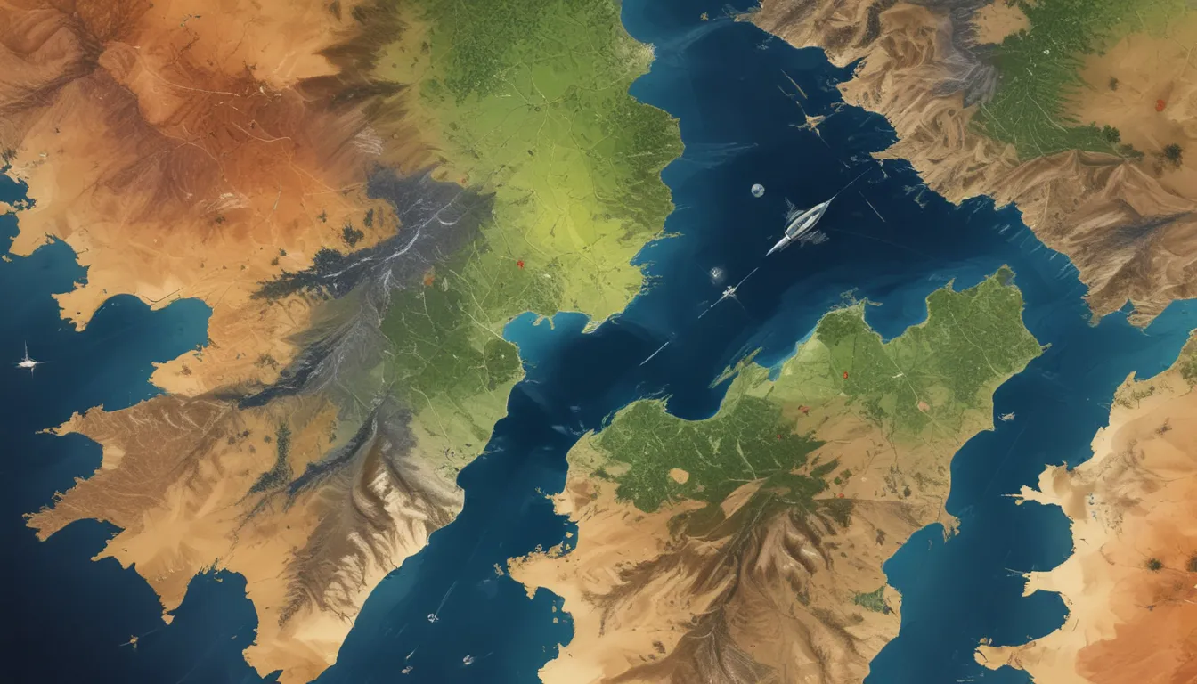
A Note About Images: The images used in our articles are for illustration purposes only and may not exactly match the content. They are meant to engage readers, but the text should be relied upon for accurate information.
In our modern world, the power of technology knows no bounds. One such technological marvel that has completely transformed our perception of the world is remote sensing and satellite imagery. These tools have revolutionized how we understand and interact with our planet, providing us with unprecedented insights into its surface, atmosphere, and oceans. From monitoring climate change to aiding in disaster management and wildlife conservation, the applications of remote sensing and satellite imagery are as diverse as they are impactful.
In this comprehensive guide, we will delve into the captivating world of remote sensing and satellite imagery, uncovering 16 astounding facts that shed light on the significance and impact of these cutting-edge technologies. From the incredible resolution capabilities of satellite images to their vital role in agriculture, disaster management, and archaeological discoveries, prepare to be amazed by the wonders of remote sensing and satellite imagery.
Key Takeaways
- Satellite imagery acts as a guardian of our planet, helping us track weather patterns, disasters, and wildlife movements, making Earth a safer and more sustainable place.
- Remote sensing and satellite imagery serve as our eyes in the sky, allowing us to grasp the intricate workings of climate change, resource management, and historical treasures.
Remote Sensing: Monitoring Earth’s Changing Climate
Through satellites equipped with advanced sensors, scientists can gather crucial data on temperature fluctuations, precipitation patterns, sea level rise, and other climate indicators. This information plays a vital role in studying climate change trends and making informed decisions to alleviate its impact on our planet.
Satellite Imagery: Aiding in Disaster Management
In times of natural disasters such as hurricanes, earthquakes, and floods, satellite imagery becomes a beacon of hope. By providing real-time, high-resolution images, these images assist emergency response teams in assessing damages, identifying affected areas, and coordinating relief efforts with precision and efficiency.
Remote Sensing: Cultivating Agriculture and Land Management
Satellite data is a boon for farmers, enabling them to monitor crop health, optimize irrigation practices, and combat pests and diseases effectively. Furthermore, land-use planners utilize satellite imagery to make well-informed decisions regarding urban growth, deforestation, and natural resource management by examining changes in land cover over time.
Satellite Imagery: Mapping and Navigation Expertise
Mapping services like Google Maps and GPS systems heavily rely on satellite imagery to provide users with accurate and up-to-date maps, making navigation through unfamiliar territories a breeze.
Remote Sensing: Unveiling Geological Mysteries
Equipped with specialized sensors and radar systems, satellites have the power to unearth underground mineral deposits, map geological structures, and pinpoint potential sites for oil and gas exploration, making geological exploration faster and more efficient.
Satellite Imagery: Safeguarding Wildlife and Habitats
By utilizing infrared technology, satellites can track animal populations, migration routes, and habitat alterations, thereby aiding in the conservation and protection of endangered species and their ecosystems.
Remote Sensing: Enhancing Coastal and Marine Research
Satellite imagery plays a pivotal role in monitoring coastal erosion, tracking ocean currents, and studying the impact of climate change on marine ecosystems, providing valuable insights for marine conservation efforts.
Satellite Imagery: Illuminating Archaeological Discoveries
Through the analysis of satellite images, researchers can uncover buried archaeological sites, examine ancient landscapes, and gain profound insights into civilizations of the past, enriching our understanding of human history.
Remote Sensing: Guiding Urban Planning and Infrastructure Development
City planners leverage satellite images to evaluate population trends, monitor urban sprawl, and devise sustainable infrastructure projects, ensuring well-planned and efficient urban development.
Satellite Imagery: Monitoring Air Quality
Satellites equipped with specialized sensors play a crucial role in measuring air pollutants, tracking their dispersion patterns, and aiding authorities in taking remedial actions to enhance air quality and public health.
Remote Sensing: Advancing Weather Forecasting
By harnessing satellite data, meteorologists can monitor weather patterns, track storms, and issue accurate predictions, enabling early warning systems and enhancing preparedness for severe weather events.
Satellite Imagery: Combatting Deforestation and Illegal Logging
Through high-resolution satellite images, authorities can identify deforested areas, track illegal logging activities, and support conservation efforts to safeguard precious forest ecosystems.
Remote Sensing: Managing Water Resources
Satellite imagery assists in monitoring changes in water bodies such as lakes, rivers, and reservoirs, facilitating effective water resource management, pollution identification, and ensuring sustainable water supply.
Satellite Imagery: Navigating Natural Disasters
During wildfires, satellite images offer critical information on the extent of the fire, aiding firefighters and emergency services in developing strategies to contain and minimize the impact of these catastrophic events.
Remote Sensing: Unraveling Land Subsidence Mysteries
By analyzing satellite images over time, scientists can detect and measure land subsidence, offering valuable insights for urban planning, infrastructure development, and groundwater management.
Satellite Imagery: Tracking Glacial Retreat
Through the comparison of satellite images taken over years, scientists can monitor the retreat of glaciers globally, providing essential data for studying climate change and its repercussions on sea levels.
Remote sensing and satellite imagery are indispensible tools that have reshaped our understanding of Earth’s dynamic processes. From climate monitoring to disaster management and wildlife protection, their impact reverberates across diverse fields. With ongoing technological advancements, these extraordinary technologies will continue to enrich our knowledge and broaden our understanding of Earth’s complexities.
Conclusion
In conclusion, remote sensing and satellite imagery stand as pillars of innovation, enabling us to delve into the depths of our world and unravel its mysteries. These technologies offer invaluable insights into Earth’s ecosystems, resources, and phenomena, empowering us to make informed decisions and foster sustainable practices for the future.
As we embark on this journey of exploration and discovery, the potential of remote sensing and satellite imagery to shape a brighter tomorrow is limitless. By harnessing these remarkable tools, we can pave the way towards a sustainable and harmonious coexistence with our planet, ensuring a prosperous legacy for generations to come.
FAQs
-
What is remote sensing?
Remote sensing is the scientific method of acquiring data about the Earth’s surface without direct physical contact, utilizing sensors and instruments mounted on satellites or aircraft. -
How does satellite imagery work?
Satellite imagery captures images of the Earth’s surface from orbiting satellites equipped with sensors that collect data across various electromagnetic wavelengths. This data is processed to create visual images and maps of Earth’s features. -
What are the uses of remote sensing and satellite imagery?
Remote sensing and satellite imagery find application in diverse fields such as agriculture, urban planning, environmental monitoring, and disaster management, aiding in tasks like crop monitoring, deforestation tracking, pollution assessment, and relief efforts coordination. -
How accurate is satellite imagery?
The accuracy of satellite imagery varies based on factors like satellite resolution, atmospheric conditions, and sensor technology. With advancements, high-resolution satellites can capture precise and detailed images of Earth’s surface. -
Can anyone access satellite imagery?
Yes, satellite imagery is accessible to the public through various providers offering free or paid datasets. Additionally, online platforms and tools allow users to explore and analyze satellite images for research, educational, and commercial purposes.
In our quest for knowledge and understanding, remote sensing and satellite imagery illuminate the path ahead, unveiling a world of possibilities and discoveries. Let us journey together, embracing the marvels of technology and unlocking the wonders of our planet from the skies above.


