A Note About Images: The images used in our articles are for illustration purposes only and may not exactly match the content. They are meant to engage readers, but the text should be relied upon for accurate information.
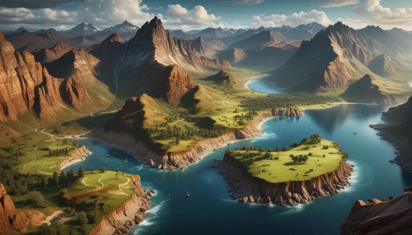
As we journey through the incredible landscapes of our planet, topography emerges as a captivating realm that unveils the intricacies of Earth’s surface. From majestic mountains to serene valleys, topography paints a vivid picture of the ever-changing landscapes that surround us. Join us as we delve into 19 astonishing facts about topography, shedding light on the world’s highest peaks, deepest canyons, vast deserts, and much more. Let’s embark on a mesmerizing journey through the fascinating world of topography and discover the wonders that shape our world.
Understanding the Essence of Topography
Topography serves as the gateway to comprehending the physical features and landforms that adorn Earth’s surface, encompassing mountains, valleys, rivers, and plains. It is a scientific discipline dedicated to defining and representing the intricate details of our planet’s terrain, offering profound insights into how these features are formed and their profound impact on various ecological systems.
Unraveling the Formation of Landforms
The movement of Earth’s tectonic plates plays a pivotal role in shaping the topography of our planet. From volcanic eruptions to mountain-building processes, tectonic activity molds diverse landforms, symbolizing the dynamic forces that shape our world.
Exploring Earth’s Peaks and Valleys
- Mount Everest: Standing proudly in the Himalayas, Mount Everest reigns as the world’s highest peak, soaring to an astounding height of 29,029 feet (8,848 meters), luring adventurers and mountaineers alike.
- Mariana Trench: Plummeting to a depth of approximately 36,070 feet (10,972 meters) below sea level, the Mariana Trench emerges as the lowest point on Earth, casting a mesmerizing allure beneath the ocean’s depths.
The Interplay of Topography and Nature
Topography serves as a crucial template for mapping and navigation, aiding cartographers in accurately capturing Earth’s splendid features. It plays a pivotal role in predicting natural disasters, determining climate patterns, and delineating areas of groundwater accumulation, offering a holistic understanding of our planet’s dynamic landscape.
Navigating Earth’s Terrain
Cartographers rely on topographic maps to chart the landscapes of our world, facilitating seamless navigation and providing vital insights for endeavors like hiking, urban planning, and infrastructure development.
Predicting Natural Phenomena
By analyzing topographic data, scientists can identify regions susceptible to landslides, flooding, and other natural hazards, fostering enhanced disaster preparedness and mitigation strategies.
Influencing Climate Dynamics
Topographic features such as mountain ranges and valleys exert a profound influence on weather patterns, shaping air circulation, precipitation, and temperature gradients across diverse regions.
Embracing Earth’s Diverse Topography
Explore the world’s captivating topographical wonders, from the mesmerizing depths of the Dead Sea to the enchanting allure of the Andes Mountains. These remarkable landscapes not only showcase the beauty of Earth’s surface but also harbor rich biodiversity and cultural significance.
Marveling at Natural Marvels
- Dead Sea: Nestled between Israel and Jordan, the Dead Sea lies at an elevation of approximately 1,410 feet (430 meters) below sea level, standing as the lowest point on land.
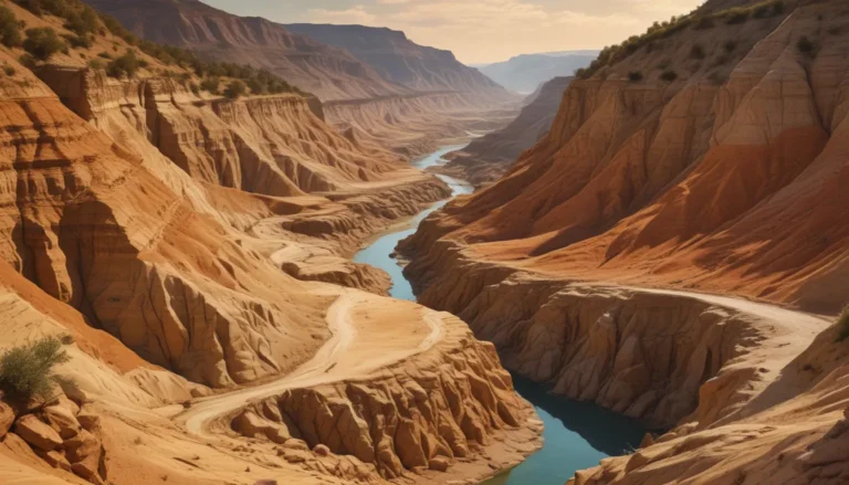
- Grand Canyon: Carved by the mighty Colorado River in Arizona, the Grand Canyon serves as a testament to the power of erosion, unveiling millions of years of geological history.
Nurturing Diverse Ecosystems
Different landforms create unique habitats that foster a rich tapestry of plant and animal species, highlighting the importance of preserving topographical diversity for biodiversity conservation.
Celebrating Cultural Heritage
Landforms and geographical features carry profound cultural and historical significance for local communities, shaping traditions, livelihoods, and identities rooted in the landscapes they call home.
Unveiling Technological Innovations in Topography
The realm of topography continues to evolve with cutting-edge technologies that revolutionize the collection and analysis of topographic data. From remote sensing to aerial imaging, these innovations enhance our understanding of Earth’s surface with unprecedented accuracy and detail.
Embracing Technological Advancements
- Remote Sensing: Remote sensing technologies enable the collection of vast amounts of data from Earth’s surface, providing invaluable insights into topographical features and land use.
- Aerial Imaging: Aerial imaging techniques capture high-resolution images of landscapes, offering detailed views of intricate topographic formations.
- Satellite Technology: Satellites play a vital role in mapping Earth’s surface, facilitating comprehensive analyses of topography on a global scale.
Delving Deeper into the Wonders of Topography
In conclusion, topography stands as a captivating field that illuminates the dynamic landscapes of our planet. From the towering heights of mountain ranges to the serene depths of valleys, topography paints a vivid picture of Earth’s ever-changing terrain. By unraveling the astonishing facts about topography, we gain a deeper appreciation for the intricate forces that have shaped our world over millennia.
FAQs
- Q: What is topography?
- A: Topography entails the study and mapping of the physical features of the Earth’s surface, including terrain, elevation, and landform distribution.
- Q: Why is topography important?
- A: Topography provides valuable insights into landscapes, aiding in fields such as urban planning, agriculture, and disaster management.
- Q: How is topography measured?
- A: Techniques such as remote sensing, geographic information systems (GIS), and ground-based surveys are used to measure topography.
- Q: What are common landforms studied in topography?
- A: Mountains, valleys, plateaus, hills, plains, and coastal features are among the common landforms studied in topography.
- Q: Can topography change over time?
- A: Yes, topography can evolve over time due to factors like erosion, tectonic activity, volcanic eruptions, and human intervention.
- Q: How does topography influence weather patterns?
- A: Topography impacts local weather patterns by influencing wind flow, precipitation, and temperature gradients.
Unlocking the Wonders of Topography
As we navigate the wondrous landscapes of our planet, topography emerges as a beacon of knowledge that unravels the mysteries of Earth’s surface. From the serene beauty of valleys to the majestic allure of mountain ranges, topography guides us on a mesmerizing journey through the intricate tapestry of our world. Let us embrace the profound insights that topography offers, celebrating the dynamic forces that have shaped our planet and continue to shape the landscapes we call home. Dive into the wonders of topography and embark on a transformative exploration of Earth’s diverse terrain.


